Terrasolid
TerraGeo Technologies is authorized Terrasolid software reseller in India, SAARC Countries, Australia, Vietnam & New Zealand located at Kolkata, India.
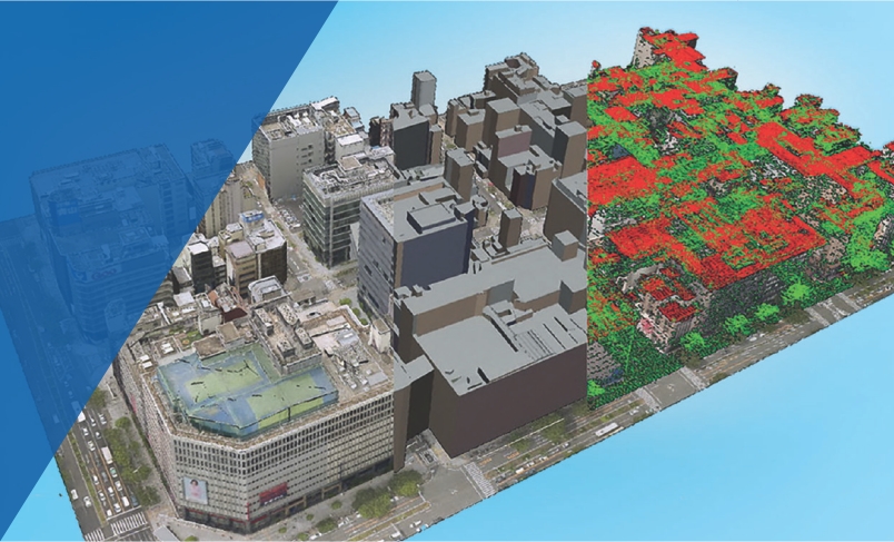
TerraScan is a versatile software package for processing raw airborne or terrestrial scanned laser data (LiDAR). Operators and other users read-in trajectories and raw data points and classify them into user-defined point classes like ground, vegetation and buildings.In combination with TerraSlave , data processing can take place outside the TerraScan and MicroStation environment with the use of other workstations in the LAN.
Besides built-in formats, like LAS and TerraScan binary, the user can define his own formats for reading-in practically any ASCII-survey files. All processing routines are optimised to reach the highest performance of the workstation. This performance will be easily exceeded, if the total data is hundreds or even billions of points. In such cases you can divide the data into smaller, geographical blocks by TerraScan and automate processing by user-defined macros.
Natural combinations to TerraScan in laser data processing are TerraSlave, TerraMatch, TerraModeler and TerraPhoto from Terrasolid.
Overview of TerraScan, TerraScan LITE and TerraScan UAV functionalities Download Now
Please visit below below link for User Guide and detail information of TerraScan.
Visit Now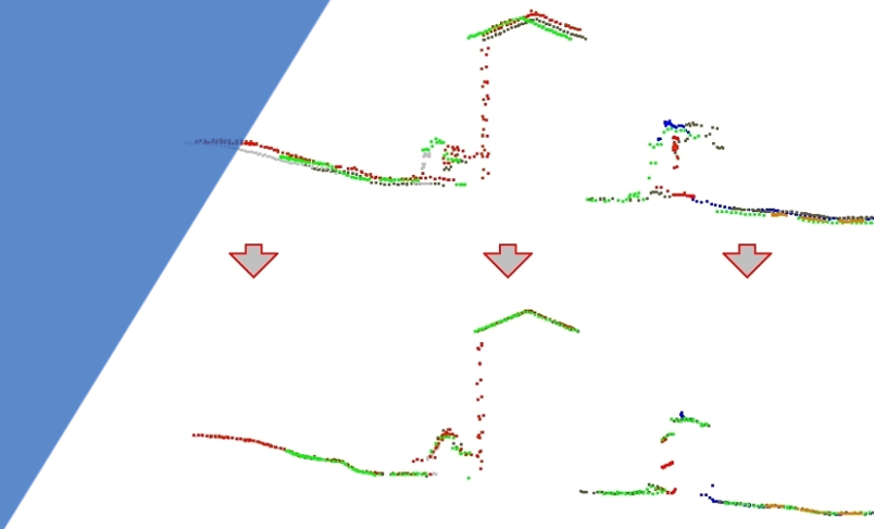
TerraMatch is a sophisticated application for correcting laser data points optimized for MicroStation® SE/J and V8 from Bentley Systems. TerraMatch compares overlapping laser strips with each other and corrects orientation parameters to obtain the best fit and improved accuracy of the laser data. The adjustment is based on measured differences between the xyz shape or the intensity of laser points from different strips. The user can decide whether TerraMatch matches all the data points or only points from selected flight lines.
TerraMatch only works with TerraScan
Overview of the functionality of the TerraMatch and TerraModeler UAVs Download Now
Please visit below below link for User Guide and detail information of TerraMatch.
Visit Now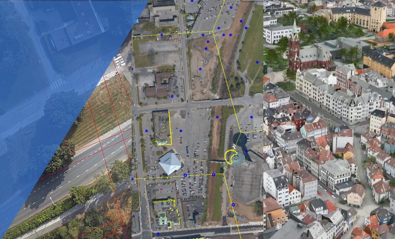
TerraPhoto produces orthorectified images from airborne images. It is specifically developed to process images, which are taken during a laser-scanning mission. TerraPhoto uses TIN of ground laser points for an accurate projection model. Some known points on the ground are used only for quality control. A seamless compatibility with the other Terrasolid’s applications for laser mapping and the complete orthorectification simultaneously with laser point processing does not let you pass TerraPhoto.
Overview of functions in TerraPhoto, TerraPhoto LITE and TerraPhoto UAV Download Now
Please visit below below link for User Guide and detail information of TerraPhoto.
Visit Now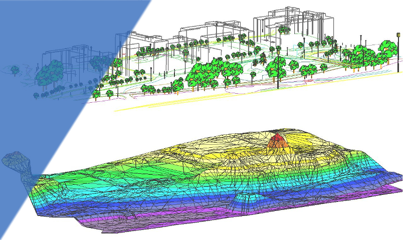
TerraModeler creates surface models (TINs) from various sources, such as LIDAR points stored in binary files or loaded in TerraScan, XYZ ascii files and graphical design elements. The software offers versatile visualization options including colored shaded surfaces, contour lines, grids, colored triangle nets, elevation texts, slope directions and textured surfaces (in combination with TerraPhoto). Additional functionality includes the production of contour lines and lattice models in batch processing, modification of the TIN, creation of profiles, calculation of volumes, calculation of elevation or volume differences between two surface models, several labelling options as well as other tools for design purposes. Completed with various export options, TerraModeler is a versatile tool for many kinds of design and modelling tasks.
Overview of the functionality of the TerraModeler, TerraModeler LITE and TerraModeler UAVs Download Now
Please visit below below link for User Guide and detail information of TerraModeler.
Visit Now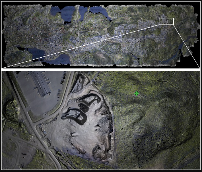
TerraStereo is a stand-along application for visualizing very large point clouds. It uses high-performance graphics boards for rendering huge amounts of points fastly and in high quality. The software enables you to:
- visualize up to 50 billion points that are organized in a TerraScan project
- perform visual analysis and quality check in both, small and large scale displays
- navigate through the point cloud freely or based on TerraScan trajectory files
- create animations
- view laser data in stereo mode and create stereo screencaptures
- easily change between different display channels and point rendering modes
- elevation, intensity and class coloring
- color by RGB values
- shaded surface display
- point density coloring
- TerraZ rendering method for masking foreground objects
- different quality levels for point rendering
- combine different visualization channels in order to improve the perceptibility of objects in the point cloud
- switch point classes on/off
- apply elevation exaggeration to the point cloud for specific analysis tasks
- measure distances within the point cloud
- digitize line vector elements and export them to TerraSurvey
For details please visit TerraSurvey
Visit Now