Photogrammetry
TerraGeo produces clear, captivating simulated 3D digital terrain views of almost any location from high resolution stereo satellite imagery. We have the capability to produce the elevation data necessary to generate realistic and detailed perspectives for any of your project needs.
3D digital terrain modelling and visualization application requires good detail pertaining to the terrain features and terrain slopes for critical project decisions, an accurate DSM must be available. If there is no suitable DSM available for the areas of interest (AOIs), then a DSM can be acquired by some of the following:
- Stereo satellite image data
- LiDAR (Light Detection and Ranging)
- IFSAR (Interferometric Synthetic Aperture Radar)
In our company we operate with best softwares and an expert team specialized in photogrammetry. Our experts deliver highly accurate results to meet customer’s need and our effective communication between the company and client helps clients to keep updates with the progresses. In this growing domainof photogrammetry TerraGeo provide following services:
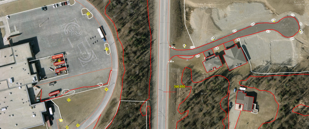
- Arerial Triangulation
- Height Model (DEM/DTM/DSM)
- Orthophoto Creation
- Stereo Digitization/Mapping
- UAV Data Processing
- Land Surveying
- Real Estate
- Sports
- Film and Entertainment
- Topographic Mapping
- DEM & DTM