Remote Sensing
TerraGeo has built a reputation on the quality and precision of the work we’ve delivered. From the retrieval of satellite image data to the final image processing, we understand the need for impeccable accuracy, image quality and fast delivery.
Our imaging, geographic information system (GIS), global positioning system (GPS), and geodesy experts are experienced in the extraction, manipulation, and supplementation of satellite image data. These projects provide invaluable information to a broad spectrum of industries.
Ongoing remote sensing, geodetic and GIS mapping consultancy services are provided to our clients, including the set-up of reliable source coordinate databases in support of computerized mapping, exploration and development of projects around the world and to clients implementing a GIS Project, utilizing a variety of source data, referenced to various survey datums and mapping projections. For more information or for a consultation, please contact us.
We provide services in the following areas:
- Satellite imagery interpretation and classification
- Classification-supervised and unsupervised
- Change detection
- Slope aspect analysis
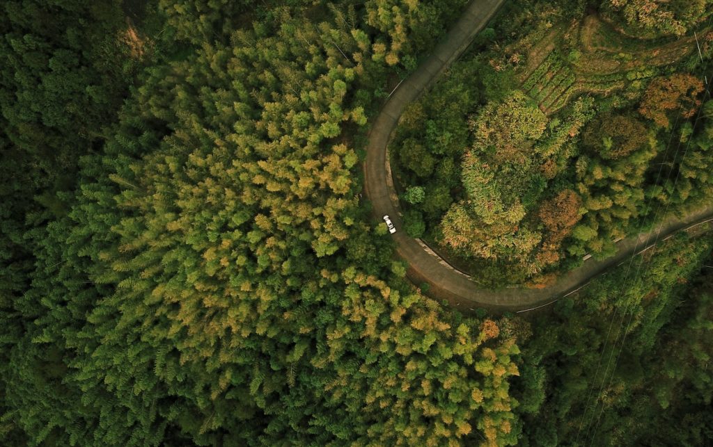
- Land cover classification and mapping
- Forestry mapping
- Agricultural mapping
- Mining and geology mapping
- Environmental impact assessment mapping
- Watershed management
- Wetland mapping
- High resolution image processing